
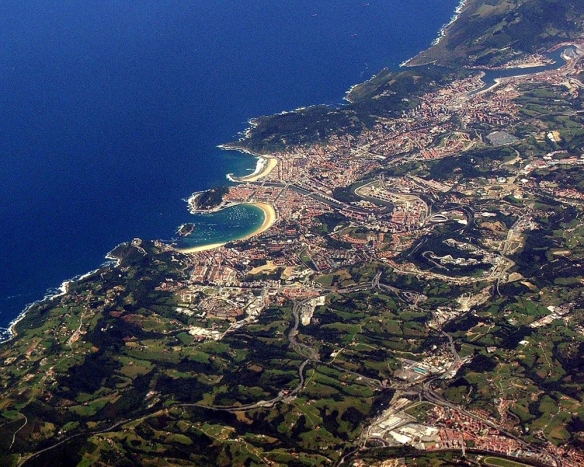
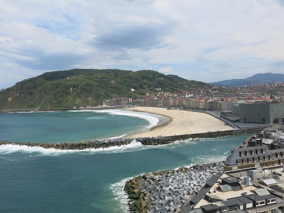
We decided to be ‘just tourists’ for a day and visit the coastal vacation city of San Sebastián, about an hour’s bus ride north of Pamplona. This Wikipedia aerial gives a good sense of its setting on the Bay of Biscay with its famous La Concha beach in the foreground and the Urumea river and second beach to east.
I would give you some of the history of this area; but after reading it I don’t think I can summarize it in any coherent fashion – what a chaotic life these people have led, right up to the end of the 20th century.
If you’re interested: https://en.wikipedia.org/wiki/San_Sebastián
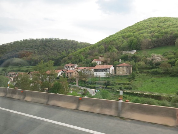
Our trip started out by climbing through the mountains north of Pamplona, one of the most beautiful rides we had in our time in Spain.
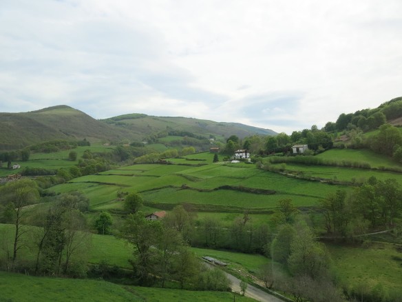
We’re used to seeing more logging than farming up in our mountains; so these fields and small villages added a wonderfully pastoral quality to the rugged terrain.
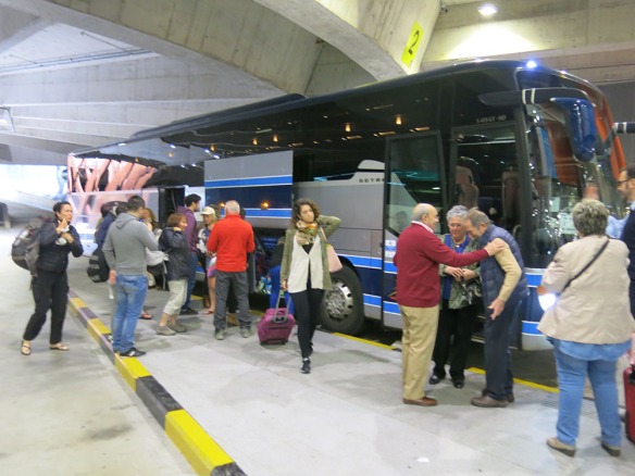
We arrived in San Sebastián along the Urumea River,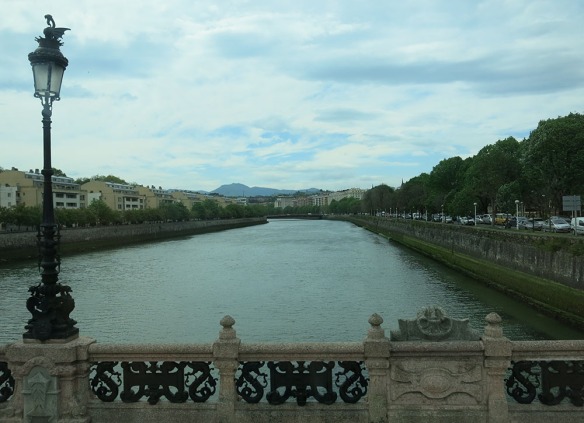
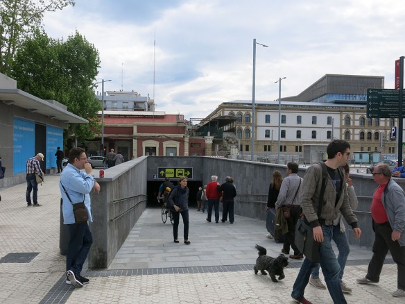
but quickly ducked down into a just-opened underground bus terminal, similar to but smaller than the one in Pamplona.
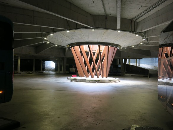
I’m not sure how they arrived at the central structure design; but it did a nice job of letting daylight down into the station in an interesting way. Notice that both the angled steel columns and concrete beams above are spiraling out from the center. This mirrors the way in which the buses park around the perimeter as well.
The route to the riverwalk is pretty straightforward, first to a mezzanine level,
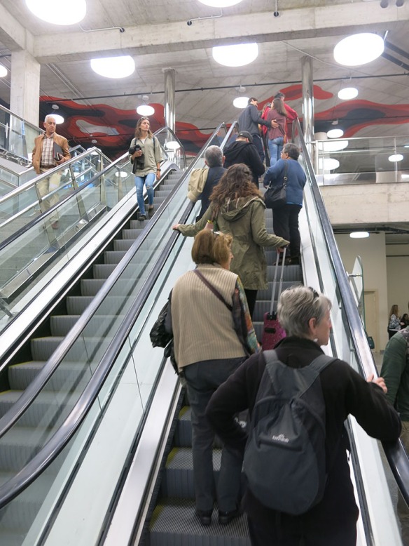
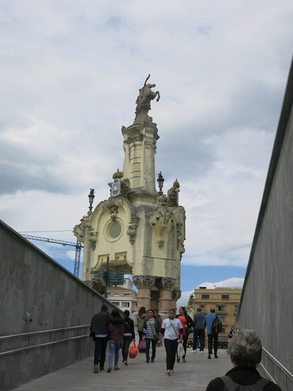
and then by ramp to grade, where a man on a horse assures you that you’ve safely arrived.
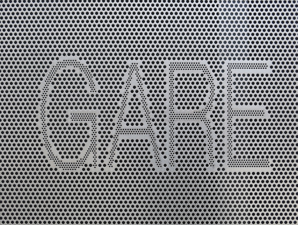
I liked the way they handled the entry graphics for the garage as well – in this case as perforated metal. Later in the day I saw some perforated concrete walls that were also an attractive way to handle a large surface.
Both sides of the river have relatively new walks along the edges; and while they vary in space and level of development, they’re generally welcoming places to walk.
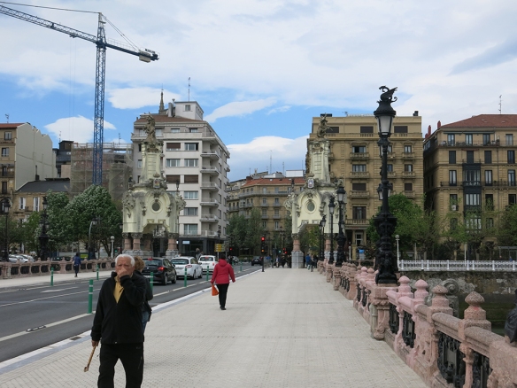
Almost immediately, you cross across the river and into the main part of the city.
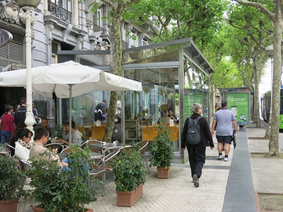
Early in the morning there wasn’t a lot going on in this part of town so we headed towards the La Concha beach. Had we not already had our coffee we would have stopped at one of these cafes or dining pavilions (and I wondered, again, why we don’t see this at home)
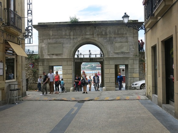
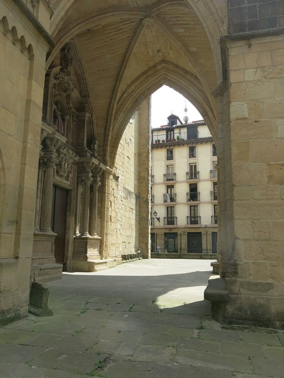
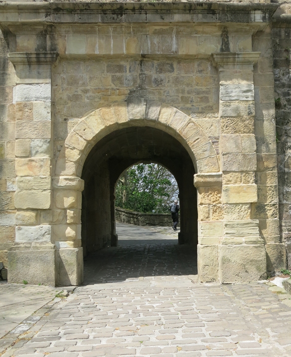
One approach to the beach took us through an historic arch – nice touch
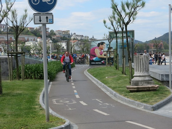
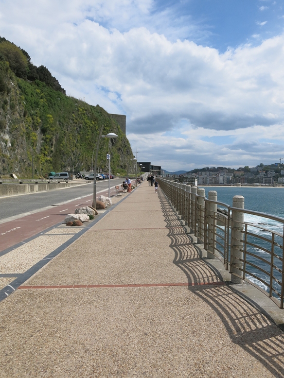
Near the beach we crossed a new bikeway system. It runs all along the beach as well as along both sides of the river. We didn’t get to see how far it goes beyond that.
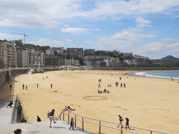
The view along the beach is grand, here looking west
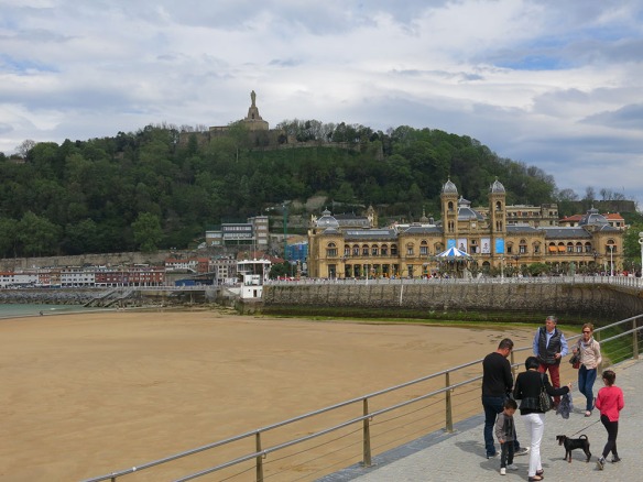
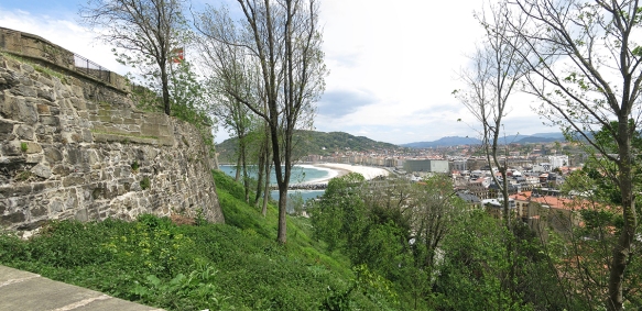
The view to the north features the headland at the entrance to the harbor.
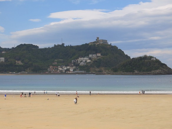
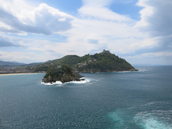
The hill in the foreground on the right is actually an island that provides a certain amount of protection from the ocean; but there is no real breakwater, so there must be occasional tidal surges and high tides that cover the beach. The third view, to the east below, focuses on another hill, where an early fortress was located.
We didn’t go all the way to the top; but we did work our way through that part of town and up to the fortress.
The contrast between historic and present day construction couldn’t have been clearer.


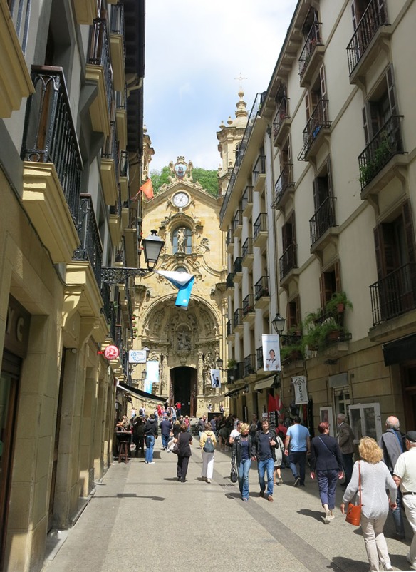
While the results are not always happy architecturally, I appreciate that they are actively living with their historic city and not just turning it into a museum. As shown on the right, it must take both patience and skill to build things in these settings. This route took us past St Mary’s church, nicely framed by its setting,
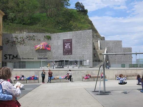
and then by the San Telmo Museoa which we didn’t go in.
I really liked the wall treatment, shown above as a type of green wall, and below as just a perforated texture.
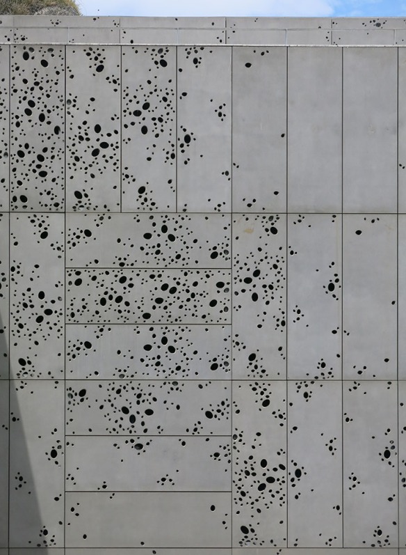
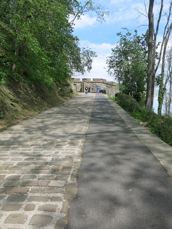
If you spend a little time with it, you can see that some of the panels are repeat patterns; but there are enough unique ones and enough variations in orientation, that the overall effect is one of endless variation. Around the corner, the roadway to the fortress climbs steeply; so there were a lot fewer tourists exploring up here.
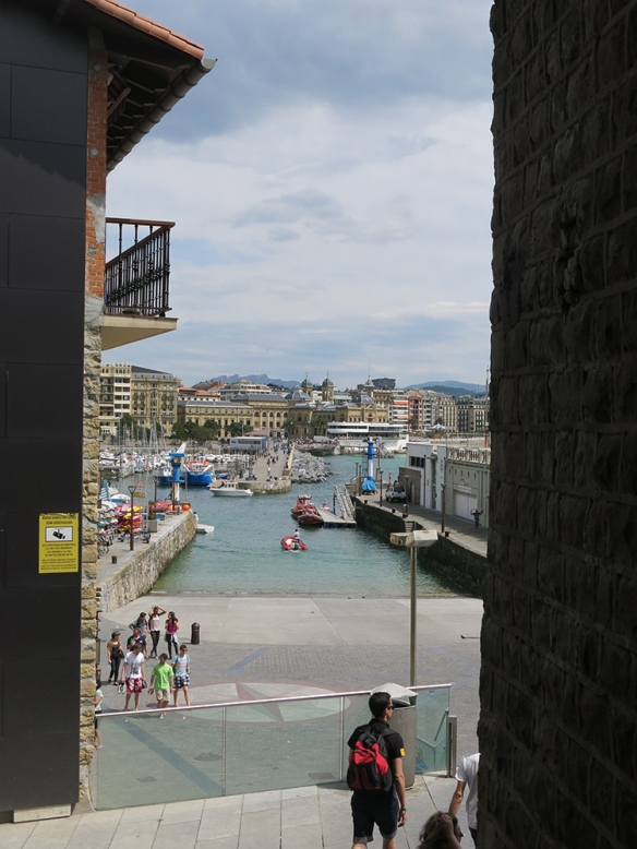
There’s a glimpse of the river and second beach just before the entrance to the fort.
And a clearer view from up on the fort walls themselves.
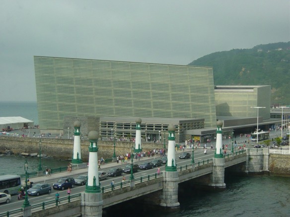
A fairly serious breakwater protects the beach and mouth of the river; but you can see in the photo that major swells still get pumped upriver. That’s a convention and entertainment facility on the right, designed by Rafael Moneo.
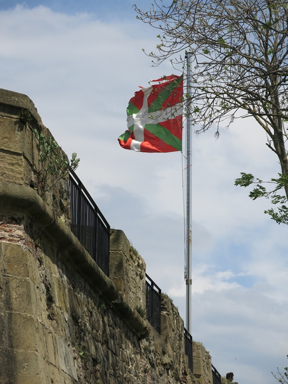
Above the fort they were flying the Basque flag – in this part of the world being Basque, as distinct from being French or Spanish, is a big deal, even if we’re actually in Spain.
We clambered along paths on the side of the hill to the end near the mouth of the harbor from which we could more clearly see the island in the center of the inlet.
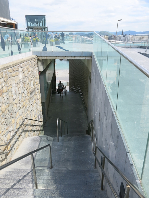
Below us, leading back into the harbor, the city has built an expansive harbor walk.
As can be seen above, you can drive around and park and there’s a well-marked bike path. When the walk comes to the local aquarium, the path goes down closer to the water. You can see there’s also an elevator in the background.
This gives a better sense of how the fishing boats fit into the picture.
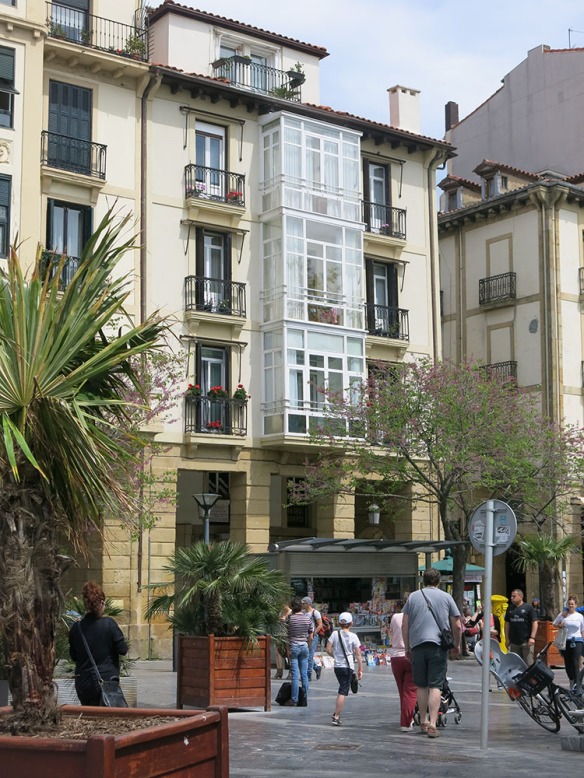
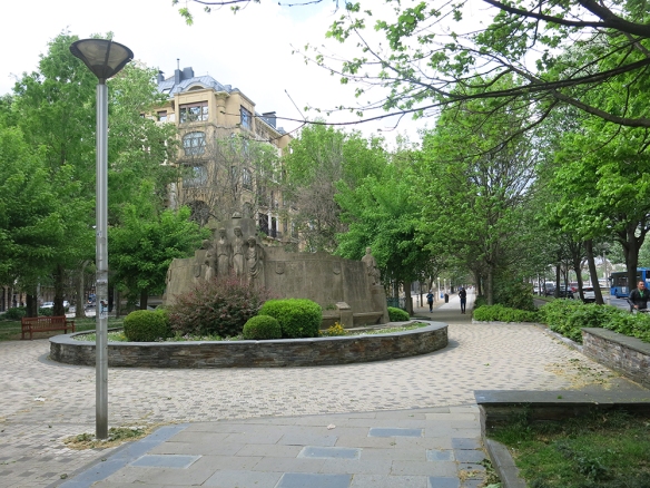
Working our way back around the harbor, we re-entered the center part of town, passing some really handsome traditional housing along a pedestrian street,
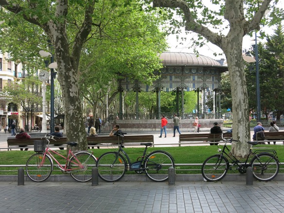
past a linear park with bandstand not far from the river,
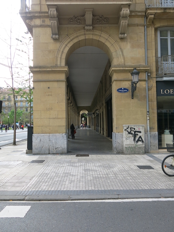
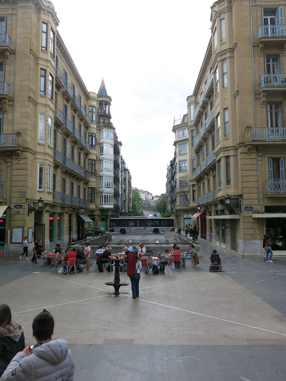
and through an arcade on our way to the part of town where the cathedral was located.
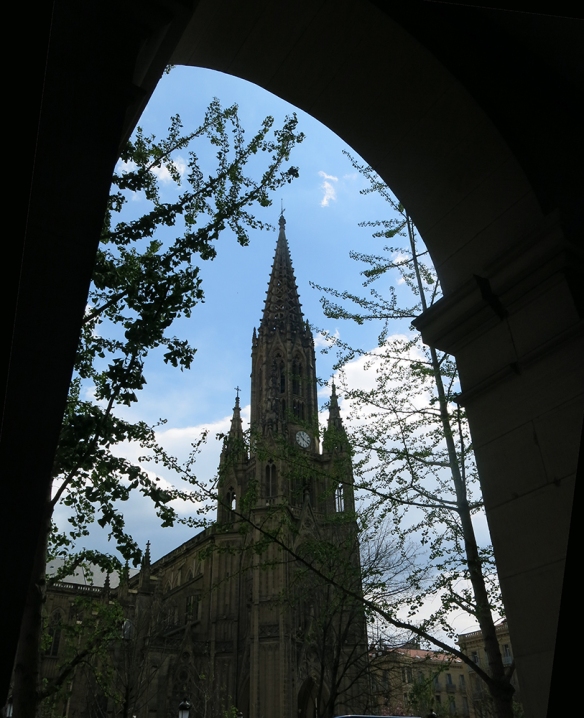
Walking around in this city today, it’s impossible to imagine that only 25-30 years ago there was political and economic turmoil here. The cathedral sits in its own modern plaza.
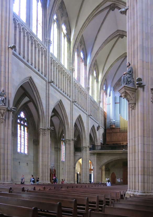
We explored the inside but only briefly. I’m calling it Calm Gothic.
Outside we found the now seemingly ubiquitous plazas with housing, restaurants and outdoor seating ringing the cathedral on three sides.
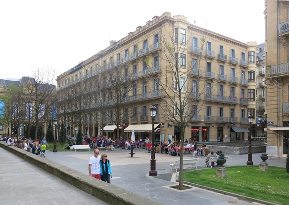
And once again, if you look closely on the right side, you can see the low wall that screens the ramp that leads to the underground parking that makes all this pedestrian space possible. As you can see below, the ramp doesn’t take up plaza space, and it’s also narrow enough to leave room for sidewalks and shopping on both sides.
With four stories of housing above, there’s enough density here to provide all the people enjoying pintxos and beer at the end of their day. What’s not to like about this way of life? (I don’t know how all this works politically and economically. There has to be a willingness to give up some streets and to pay for some underground garages; but that willingness has obviously been available. Must be socialism.)
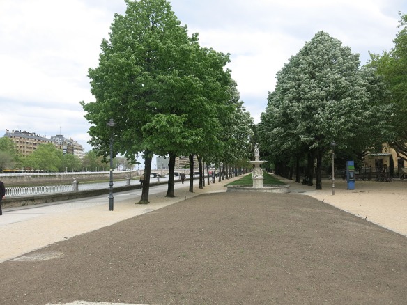
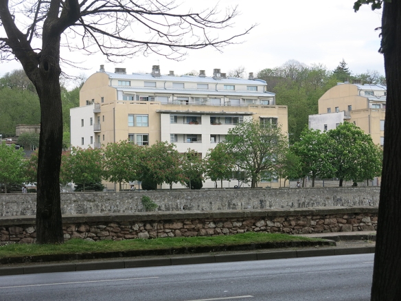
From the cathedral area we made our way back to the river and walked along it a ways, crossed over and returned to the bus stop. The buildings are evidence that at some point wealthy people invested in development along the river. Today it’s not clear whether these buildings are mostly apartments and condos; but I suspect that is the case.
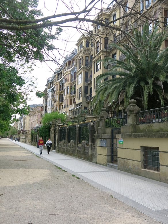
They’re set back quite a ways from the river – probably a planning precaution against flooding when the district was established – leaving room for automobiles, bicycles, pedestrians, and landscaping – pretty civilized balance.
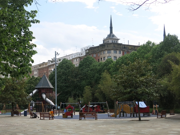
Farther down, where housing had not for some reason been built, space was provided for a small park and playground.
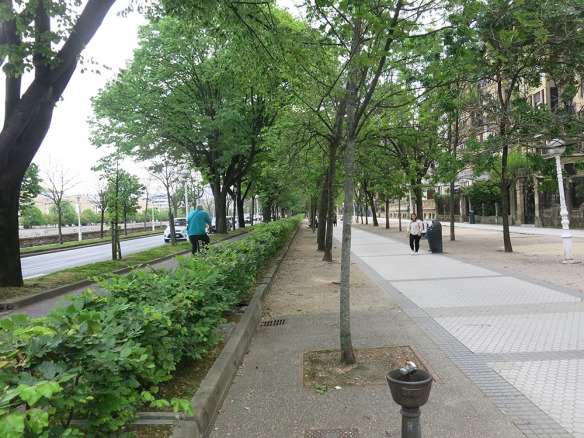
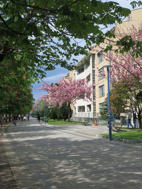
Farther yet and across the river, more modern housing prevailed.
It also benefited from a walkway along the river, and as a bonus, this time the road was on the other side of the buildings so the walking and biking were more peaceful.
This path led us back to a now familiar landmark,
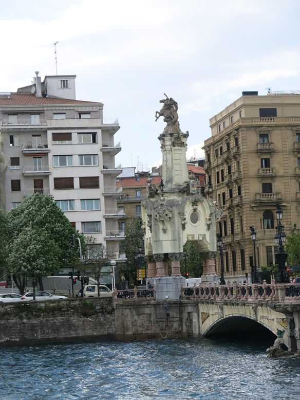
and nearby to our bus station and ride back to Pamplona.
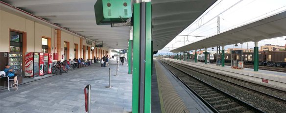
The next morning we packed up early, took the bus to the Pamplona train station,
where we said good-bye to Pamplona – or Iruna in Basque
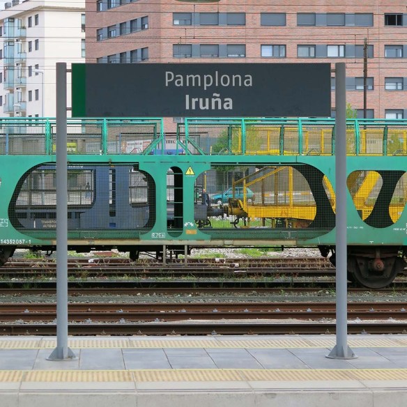
Next stop – Barcelona !

You must be logged in to post a comment.