Portland, Oregon – Tilikum Crossing

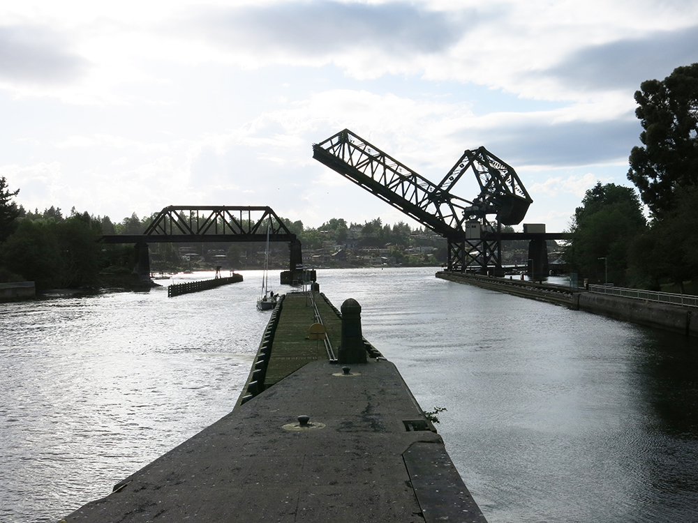
Tilikum Crossing sits just north of Portland’s South Waterfront; so we only had to ride the streetcar a couple of stops to make a connection to it. We had ridden the green line earlier in the day; so it was an easy transition. Here’s the big picture.

We started our morning by walking from our hotel (upper left corner red dot) to the northwest end of the Portland Streetcar green line.

It flows in fairly simple fashion from north to south through downtown, but then jig-jogs through a series of turns before finally arriving at the South Waterfront turn-around loop. In the downtown area it shares its tracks with the red line and the blue line – the importance of this being that these two lines cross over the river to serve the east metro area and form a large loop joining the two sides of the river.

Finally, the yellow lines on the map represent the Light Rail line that joins with these other two on the Tilikum Crossing Bridge.

MAX Light Rail – Wikipedia photo

All of this makes the Tilikum Crossing station an important connection and transfer point, though, as we were to discover, it’s not quite as simple as we thought.

Here’s a bit of Wiki-info about the bridge itself. Tilikum Crossing, Bridge of the People is a cable-stayed bridge across the Willamette River in Portland, Oregon, United States. It was commissioned by TriMet, the Portland metropolitan area’s regional transit authority, for its MAX Orange Line light rail passenger trains. The bridge also serves city buses and the Portland Streetcar, as well as bicycles, pedestrians, and emergency vehicles. Private cars and trucks are not permitted on the bridge. It is the first major bridge in the U.S. that was designed to allow access to transit vehicles, cyclists and pedestrians but not cars.

Wikipedia photo

The bridge connects a MAX station at OMSI (Oregon Museum of Science and Industry) on the east side of the river with a new OHSU/South Waterfront Campus MAX station on the west side. OHSU is the city’s largest employer, while OMSI is one of the city’s largest tourist and educational venues, and the new bridge facilitates the connection of both to the regional MAX light rail system. The Orange Line continues south from OMSI to Milwaukie and northern Oak Grove and north from South Waterfront into downtown Portland.

The design was done by team of multiple consultants.

TriMet chose a cable-stayed option by MacDonald Architects  in order to reduce cost. MacDonald had previously designed the similar Eastern span replacement of the San Francisco-Oakland Bay Bridge. 

T.Y. Lin International (TYLI), Engineer of Record on the Tilikum Crossing project, designed the distinctive, 180-foot-tall, pentagonal shaped stay-cable towers as the bridge’s focal point. The 1,720-foot-long bridge also features two landside piers and two in-water piers. The 780-foot-long main span deck is separated into a 31-foot-wide transitway between the tower legs to accommodate two lanes of track and two flanking multi-use paths for pedestrians and cyclists.

Given the visibility of the bridge from both sides of the river, it was decided to include special lighting of the bridge structure. A light art aesthetic lighting system, designed by installation artists Anna Valentina Murch and Doug Hollis, alters the bridge’s lighting effects based on the Willamette’s speed, depth, and water temperature. It uses 178 LED modules to illuminate the cables, towers, and underside of the deck. 

Wikipedia photo

The USGS environmental data is translated by specialized software to a processor that issues cues programmed for each of the changing conditions. The base color is determined by the water’s temperature. The timing and intensity of the base color’s changes, moving the light across the bridge, are determined by the river’s speed. A secondary color pattern is determined by the river’s depth, that changes on the two towers and the suspension cables.

Unfortunately, we didn’t get to experience the lighting; but we did ride the streetcar across to the east side of the river.

Main transit transfer plaza

It took us a couple of tries to figure out where to board the streetcar. Cleverly, the gauge of the rails and the power line have been designed to support both the streetcar and the larger light rail trains; but we discovered that the actual boarding location for the streetcar was around the corner on the adjacent street. As a transit planner I found this to be an odd decision.

The trip over was quick, so photography time was limited; but shooting through the support cables I was able so show the adjacent bike and pedestrian lanes.

On the far (east) side, the setting is much less developed. The light rail peels off to the southeast; and the streetcar heads north into a very modest station.

Jane and I doubt this particular station gets much use; and from here the view back to the bridge reveals the current industrial setting. It may be simply that future development will fill in the context with more activity and comfort.

Since the trip over had been so quick, we decided to walk back in order to experience the structure more closely.

A surprising number of people were using the bridge; and it appeared that some of them were having a ‘jog the bridge’ lunchtime run. In a couple of places we noticed some text about the bridge.

This one references other bridges across the river, such as the Marquam bridge that carries the I-5 freeway.

Marquam Bridge over the Willamette River

The view back to the west helps clarify the context.

From this angle you can see both the development adjacent to the main train plaza on the left, as well as the OHSU campus buildings on the hill beyond. Closer to the plaza it becomes clear that the buildings have been designed to pay attention to the transit flow.

Landscaping softens the adjacency; and a small cafe, sheltered by the overhang and taking advantage of the southern exposure, had several groups of lunchtime customers. It’s hard to tell how strong this connection will become – for many people it is undoubtedly a place to simply pass through on the train – but the beginnings are promising. For us though, on this particular cool, gray day, a little more creature comfort was required; so we took the streetcar into town for lunch.

Nice way to finish our tour.

Portland, Oregon – South Waterfront

The South Waterfront is a high-rise district under construction on former brownfield industrial land in the South Portland neighborhood south of downtown. It is one of the largest urban redevelopment projects in the United States. It is connected to downtown Portland by the Portland Streetcar and MAX Orange Line (at South Waterfront/SW Moody Station), and to the Oregon Health & Science University (OHSU) main campus atop Marquam Hill by the Portland Aerial Tram. It has been developing into a dense neighborhood of shops, condominiums, and apartments starting in the mid-2000s. We had visited the area once before and ridden the tram; so we decided to see what has developed since that time.

The short answer – a lot ! Here’s a 10-year old Wikipedia description: As of August 2010, nine towers have been completed in the district: the 16-story OHSU Center for Health & Healing, the twin condominium towers known as the Meriwether, at 21 and 24 stories, the 31-story John Ross Tower condominium, the 22-story Atwater Place condominium tower, the 31-story apartments The Ardea, the 22-story Riva on the Park, the 30-story Mirabella Portland, the Matisse, and Gray’s Landing. The Mirabella is the district’s first senior living community.

OHSU (Oregon Health and Science University) has provided a major portion of the development energy, driven by its relatively small and constrained campus on the hilltop to the west (reached by the tram). Construction of three new OHSU buildings in the district is scheduled to begin in 2016, and the university has earmarked $500 million for the work, which is expected to take about two years. Together with the existing OHSU Center for Health & Healing, the new facilities will be part of the Knight Cancer Institute, which also has facilities outside the South Waterfront. The largest of the buildings will be for patient medical care, another will be for research and administration, and the third will provide housing for patients and their families. The remainder of the area will be a mix of some office space, a lot of housing, retail, and a very thorough development of “rain-garden” landscapes and pedestrian walkways.

Here’s one that sits adjacent to a major open space park. Note that in contrast to many urban rain-gardens, which often run peripherally along streets and sidewalks, this one gives the garden and water management precedence – within which the walkway is set.

This approach makes it easier to incorporate a variety of plantings and different scales of trees, a more difficult approach in street-side rain-gardens.

To date, the major open spaces are undifferentiated grass areas. It’s not clear if some of this will become athletic space or not. It’s hard to distinguish in the photo, but running left to right through the center is the I-5 freeway as it approaches its bridge over the Willamette River. Along the horizon sits the original hilltop OHSU campus. You can see from the topography, the distance, the freeway and landscape, that using an aerial tram to connect the two campuses was almost the only answer.

We decided to work our way through the residential towers towards the river. This initial impression of the buildings is imposing.

Once you cross this main circulation street, the scale changes because the planting is so dense that the height of the towers is no longer a factor.

The public walkways feature a handsome brick paving; and the landscaping creates both enough openings for visual contact and enough definition for separation of activities. In this case the rain-garden is mostly a surface treatment. Below, the treatment is more ambitious and the separation greater.

And here, the separation is both architectural and lush. If you live here you get to have your own bridge !

Obviously, there’s enough capacity here to handle significant rainfall, even as it moves across the various hard surfaces. I’m assuming that the building roof drains are tied in as well; but I don’t actually know that.

Once through the housing, you can see the river.

Willamette River

Here, the design treatment combines lush landscaping with serious infrastructure.

Three types of circulation

Three types of circulation accommodate three speeds. On the left, a normal sidewalk with occasional seating; in the center a bicycle path, and on the right, a river-side walk for jogging or longer outings. Looking back towards the housing reveals another use of the lush landscaping – maintaining some privacy for the residences from the more public riverside uses.

Overall, an impressive bit of public planning and private design and implementation. it will be fun to come back in another 5 years and see how it’s all settling in.

Next, we take a ride on the newest bridge in town and admire the ways in which Portland has pulled all their transit systems together.

Photo of the center city transit routes. The “You Are Here” red arrow tells you where I took the picture.

Hiram M. Chittenden Locks

We took a fish and chips supper to the locks tonight for a picnic. It was a pleasant but generally uneventful outing.

Construction of the Lake Washington Ship Canal and Hiram M. Chittenden Locks was completed in 1917 by the U.S. Army Corps of Engineers. Connecting the waters of Lake Washington, Lake Union, and Salmon Bay to the tidal waters of Puget Sound, the canal and locks allow recreational and commercial vessels to travel to the docks and warehouses of Seattle’s busy fresh water harbor.

120605-A-DT641-002

This description, photo and other materials can be found here.

The complex of locks sit in the middle of Salmon Bay and are part of Seattle’s Lake Washington Ship Canal. They are known locally as the Ballard Locks after the neighborhood to their north – right above. (Magnolia lies to the south – left above.)

The locks and associated facilities serve three purposes:

  • To maintain the water level of the fresh water Lake Washington and Lake Union at 20 to 22 feet above sea level.
  • To prevent the mixing of sea water from Puget Sound with the fresh water of the lakes (saltwater intrusion).
  • To move boats from the water level of the lakes to the water level of Puget Sound, and vice versa.

The complex includes two locks, a small (30 x 150 ft, 8.5 x 45.7 meter) and a large (80 x 825, 24.4 x 251.5 meter). When we were there tonight there was very little activity – until we got ready to leave. Then a tug pushing a huge gravel barge entered the large lock.

BigBarge_6645_1000

This lock is actually two locks in one, end to end. This barge was wide, but not so long as to need the entire lock; so they closed the middle gates after it went past.

LocksGates_6651_1000

The lock gates are thick enough to include walkways on top – very popular with tourists on sunny week-ends when there is lots of boat traffic.

LocksAdmin_6653_1000

As you can see the two gates come together at an angle, creating a wedge shape that assures that the water pressure on the ‘up’ side (right) can’t push the gates open. The building in the background is the Corps of Engineers Admin Building.

The complex also includes a (235-foot, 71.6 meter) spillway with six (32 x 12-foot (3.7 m), 9.8 x 3.7 meter) gates to assist in water-level control. A fish ladder is integrated into the locks for migration of anadromous fish, notably salmon. We checked the fish ladder but there weren’t any fish running – it’s just a touch early.

At the western end of the locks the channel flows out to Puget Sound under the Burlington Northern railroad line going north to Vancouver and east to Chicago.

RailroadBridge_6650_1000

And at this time of year the heron rookery in the trees to the south of the locks is a noisy (and smelly) activity area. Occasionally, one of the herons supervises the locks.

Heron_6654_1000

The locks were named after U.S. Army Major Hiram Martin Chittenden, the Seattle District Engineer for the Corps of Engineers from April 1906 to September 1908. They were added to the National Register of Historic Places in 1978.